
Welcome to Líos Legales, our series on Guanacaste’s most common property disputes — and how to win them before they start. Episode 01: the boundary line. Spoiler: the fence doesn’t rule, the registered survey does.
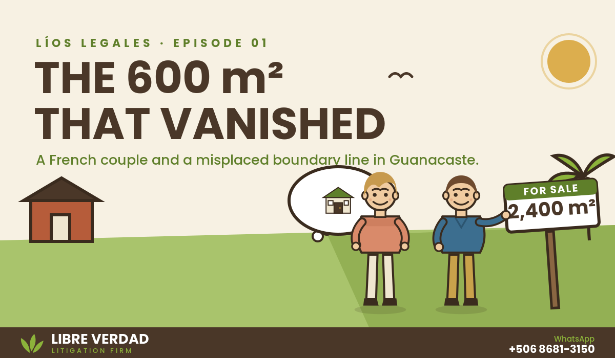
When a French couple purchased a property in Guanacaste, everything appeared to be in order. According to the National Registry, the lot measured 2,400 square meters, and it was exactly where they had dreamed of building their future home.
Like many foreign buyers, they did not begin construction right away. The property remained untouched for a few years while they planned their project.
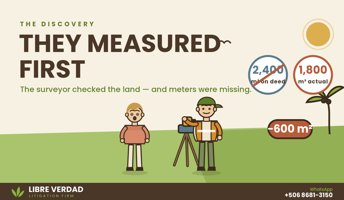
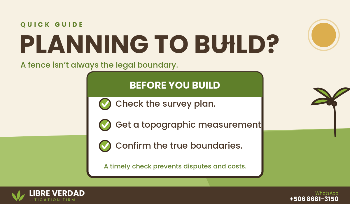
When they were finally ready to build, they did what we always recommend: hire a licensed surveyor to confirm the property’s boundaries before construction began. That is when they discovered something unexpected. The lot was not 2,400 square meters.
It was 1,800. Six hundred square meters had seemingly disappeared.
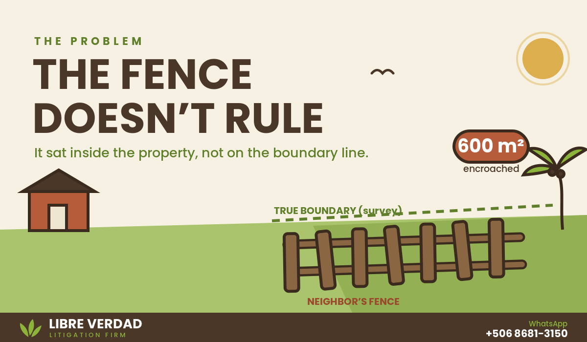
The explanation wasn’t long in coming: the fences belonging to the neighbors to the north and west were built inside our clients’ property, not along the true boundary line. Our clients first tried to resolve it amicably, as one should always try first: they went to speak with the neighbors. The neighbors refused to accept it.
And the problem wasn’t just symbolic. With those fences where they stood, our clients couldn’t build their house in the position they had planned, because the required municipal boundary setbacks weren’t being respected. The dream of building ran, quite literally, into a fence that never should have been there.
What the law says — and what we did
Costa Rican law is clear on this. Article 296 of the Civil Code establishes that the owner of a property has the right to require the owners of neighboring properties to take part in the demarcation of boundaries, and that whoever has moved a boundary marker — or, as in this case, built a fence in the wrong place — must restore it at their own expense and compensate for any resulting damages. Article 297 adds the rule that resolves cases like this one: demarcation is carried out according to each party’s title, and if the titles aren’t sufficient, according to possession.
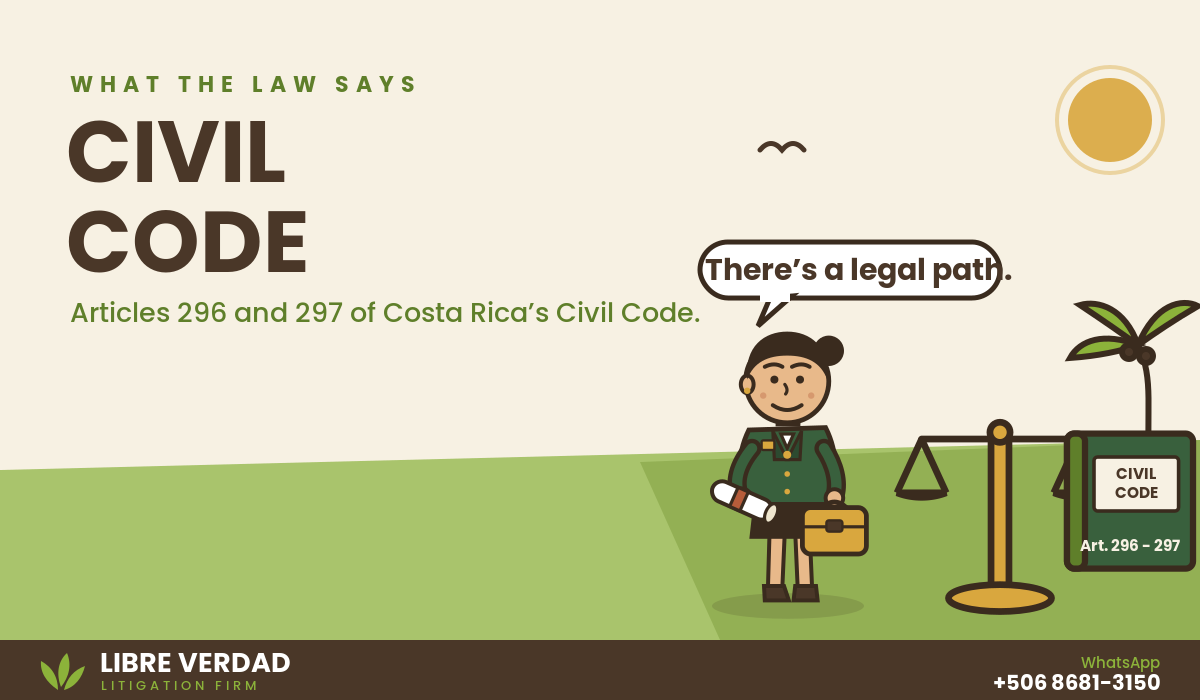
“The owner… has the right to compel the owners of adjoining properties to take part in the demarcation of boundaries… They also have the right, if a boundary marker delimiting their property has been removed, to require whoever moved it to restore it at their own cost and compensate for any resulting damages.”
Civil Code, Article 296
When the direct route with the neighbors is exhausted — as happened here — the law offers a judicial path designed exactly for this: what was traditionally known as an “interdicto de amojonamiento” (boundary-marking interdict), today handled as a summary proceeding under the Code of Civil Procedure. It isn’t a long trial or a years-long battle; it’s a streamlined process, built specifically to resolve boundary disputes quickly.
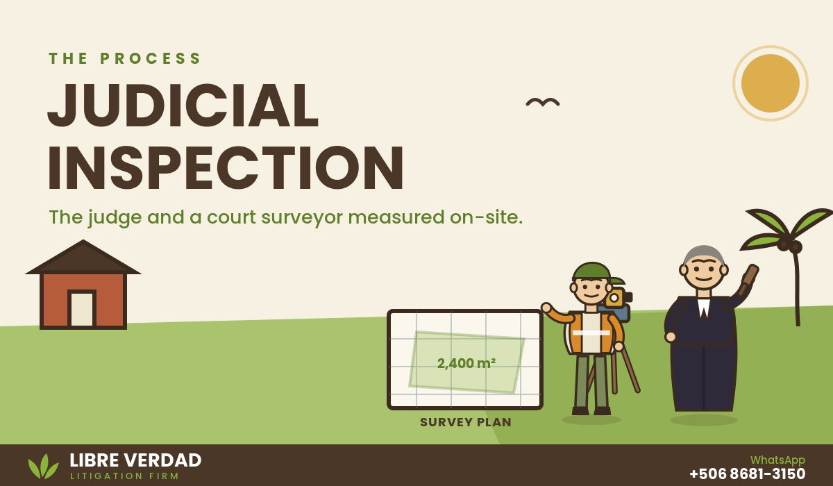
We filed the claim, and the judge did exactly what the law provides for cases like this: a judicial inspection on the property itself, accompanied by a court-appointed surveyor (perito judicial). There, using the registered survey plan (plano catastrado), the property titles, and an on-site technical measurement, it was established exactly where the true boundary lay — and it became clear the neighbors’ fences were in the wrong place.
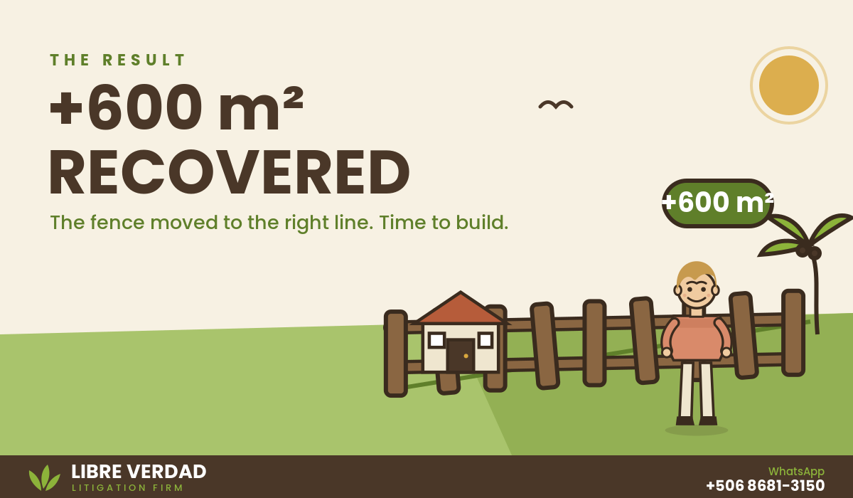
The judge ordered the fences moved to the correct boundary line. Our clients recovered their 600 square meters and, with them, the ability to build their house exactly where they had envisioned it, now fully complying with the setbacks required by the municipality.
Why we’re telling this story
This isn’t a rare case in Guanacaste. Many properties, especially ones left unbuilt for years, have fences placed “by eye” by previous owners, without anyone ever checking them against the actual registered survey plan. A fence is not a legal boundary. Only the survey plan and the title are.
If you own property in Guanacaste and haven’t had your boundaries verified by a surveyor since you bought it — especially if you’re planning to build soon — now is exactly the time to do it, not after the fences are already set in concrete. The sooner a discrepancy like this is caught, the simpler and less costly it is to resolve.
At Libre Verdad, we accompany property owners, many of them foreign, through exactly this kind of situation: from the technical and legal review of boundary lines to full representation in the judicial process when the direct route with neighbors doesn’t work. If any part of this story sounds familiar, we’d be glad to review your case.
Planning to build, or facing a boundary problem? Contact us by direct message and we’ll be glad to guide you. 📲 WhatsApp +506 8681-3150.
Note: names and some details in this case have been changed to protect our clients’ confidentiality. The legal substance of the case is real.
General information, not legal advice.
 English
  Español
Recent Comments